
See the Permian Basin Move
InsideInSAR is a free, basin-wide ground-motion map for the Permian Basin, powered by SkyGeo – giving everyone the same wide-area view of uplift and subsidence.
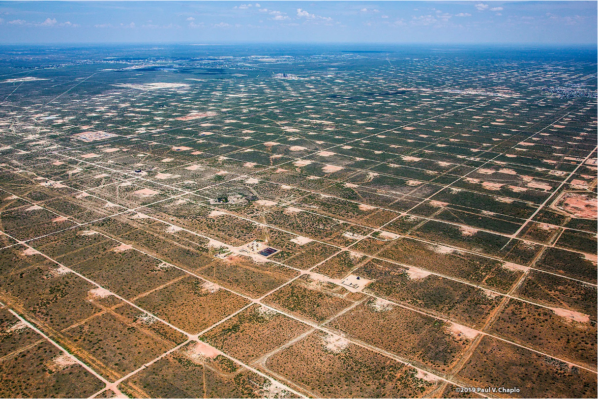
Your Basin-Wide Baseline for Permian Basin Ground Motion

InsideInSAR is your starting point, not your final answer. When decisions affect safety, production or long-term asset value, SkyGeo’s low-risk, higher-level services provide the extra quality and interpretation you need.
The Permian Basin is one of the most intensively developed hydrocarbon basins in the world. Injection, production, water handling and infrastructure build-out all change the stress in the subsurface – and the ground responds.
InsideInSAR makes that response visible.
Using satellite radar (InSAR), we provide a baseline, basin-wide view of slow ground motion across the Permian Basin. It’s free to use, so operators, midstream owners, regulators and researchers can all start from the same baseline picture.
The map is:
Wide-area and long-term – covering the Midland, Delaware and Central Basin Platform with several years of history.
Lowest-quality, hence high-risk for decision-making - if you’re after decisions, reach out to SkyGeo for higher-level products.
Built by SkyGeo for the Permian Basin Community
InsideInSAR is created and operated by SkyGeo, the company behind the longest-running InSAR monitoring in the Permian Basin and a global benchmark for turning satellite measurements into decision-grade ground-motion insight for energy, infrastructure and public agencies.
This public map is a deliberately entry-level view of what InSAR can reveal over the basin: a free way for the community to explore basin-scale uplift and subsidence and get familiar with the technology.
When your risk tolerance is low and decisions touch safety, integrity, regulation or major investment, relying on this map alone is a high-risk choice; SkyGeo’s premium services carry the same monitoring backbone much further, with higher-fidelity products, analytics and support designed to help you avoid unpleasant surprises.
Contact Us
Have a question about what you’re seeing in the map or whether you need higher-grade monitoring? Share a few details about your assets and objectives and a SkyGeo specialist will get back to you with the best next step.